Image gallery : Maps and aerial photos
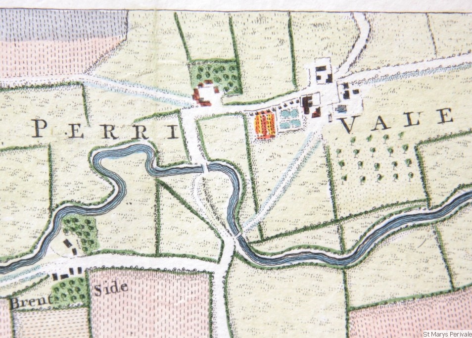 Rocque map 1746
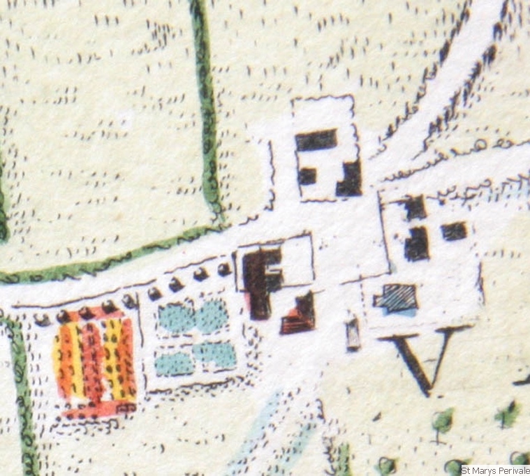 Rocque map 1746 enlarged with details of manor house etc
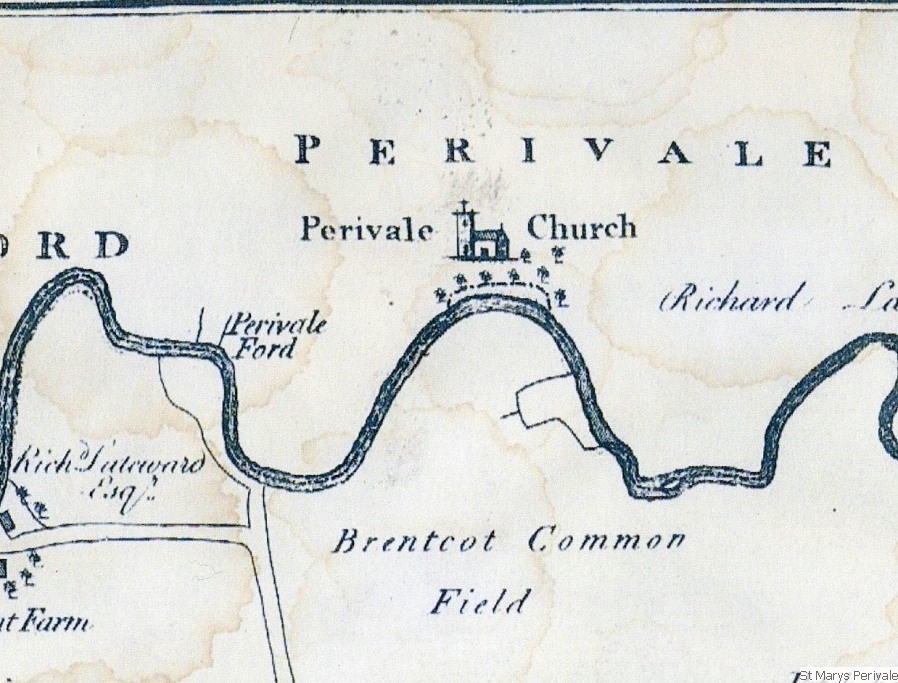 Map of 1777
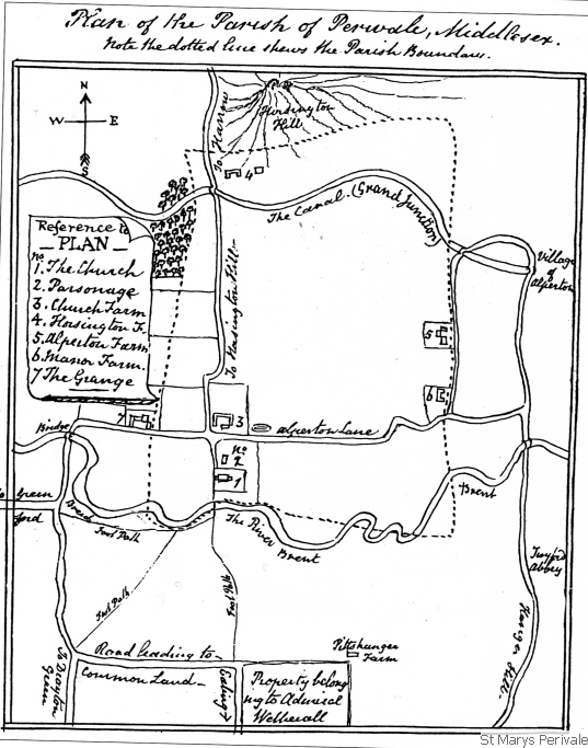
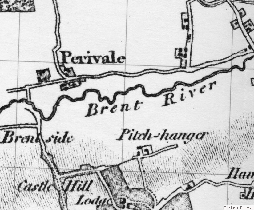 Early 19C
 Farthing drawing c 1850
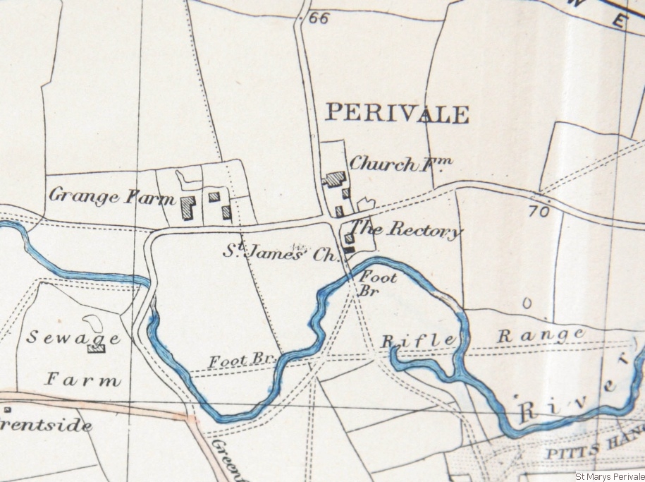 OS map c 1894
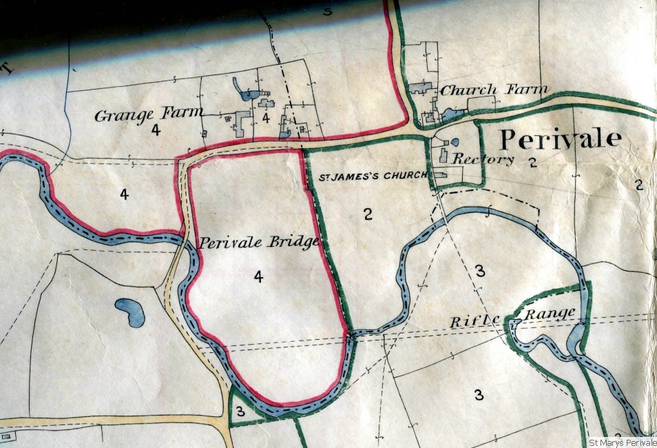 Map from old deed c 1890
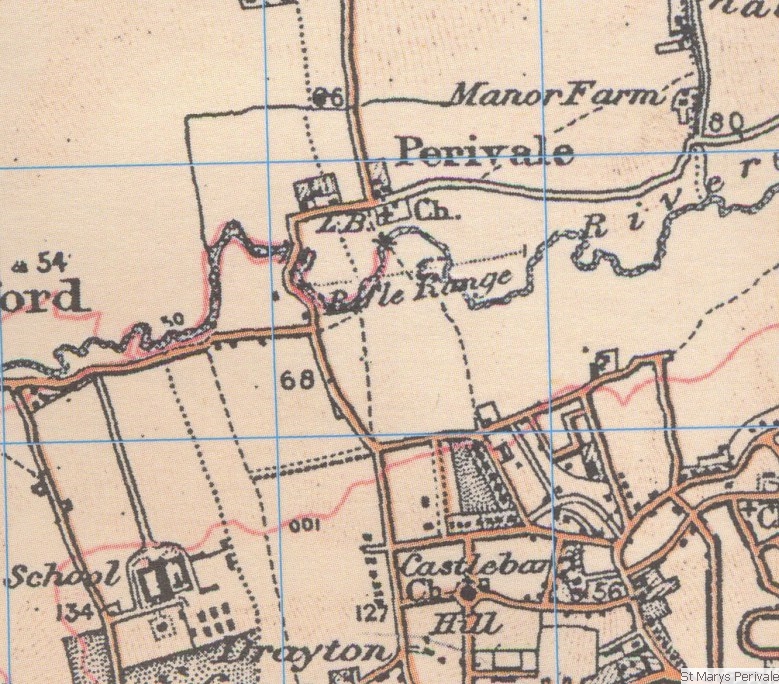 Map early 20C
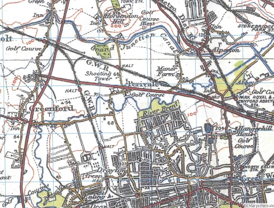 Map c 1930
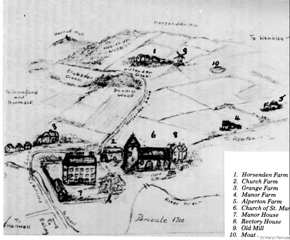 Reconstruction of Perivale 1700 by Farley
 aerial view c 1920
 aerial view c 1920 enlarged
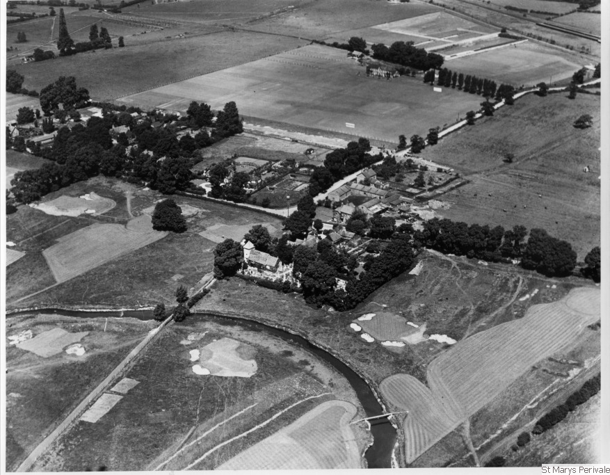
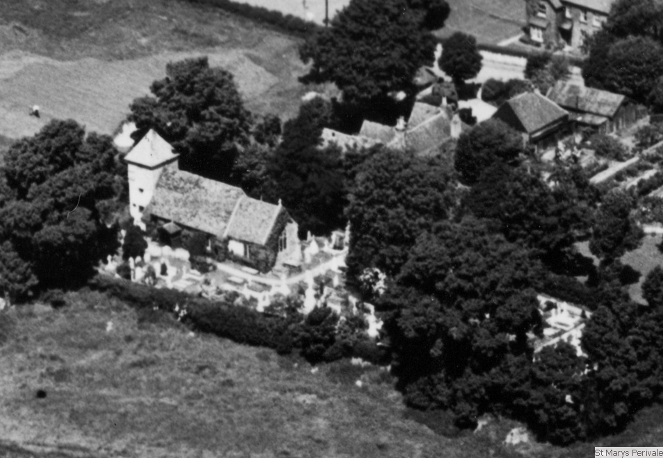
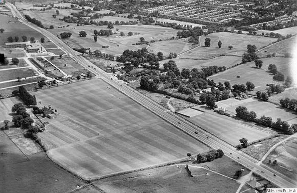 aerial view c 1935
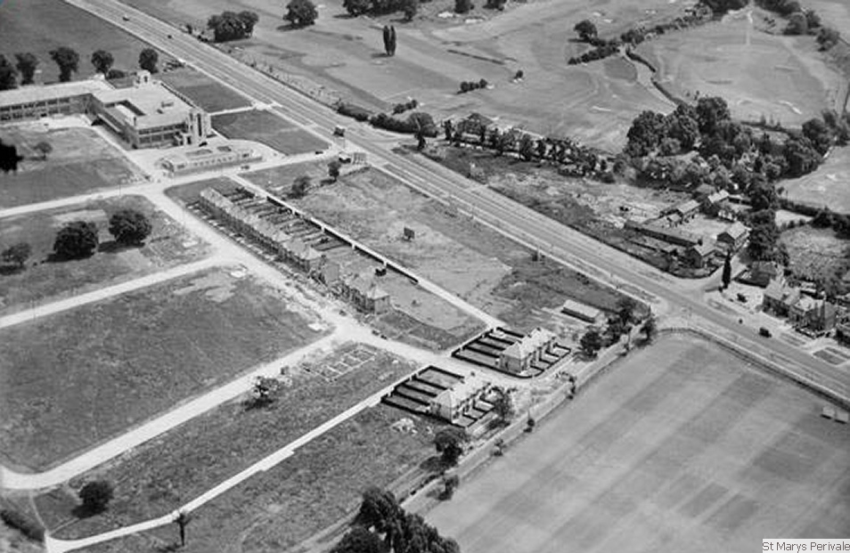 aerial view c 1935
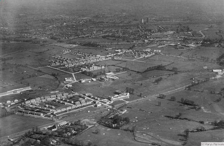 aerial view c 1935
multiple lightbox galleriesby VisualLightBox.com v6.1
aerial view c 1935
multiple lightbox galleriesby VisualLightBox.com v6.1
Previous .......................................................Point mouse to enlarge any image......................................................Next
Home
| Events Archive | Musicians | History | Pictures
| Video | Friends
| Contact Us
Search